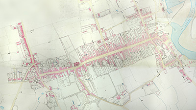
The animation incorporates Ordnance Survey town plan mapping, at 1:500 scale, from the 1860s.

This animation incorporates Ordnance Survey town plan mapping, at 1:500 scale, from the 1860s.
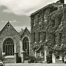
The photographs in this film have been gathered from the extensive collection at St Barbe Museum & Art Gallery.

The photographs in this film have been gathered from the extensive collection at St Barbe Museum & Art Gallery.

National Heritage List for England (NHLE) - Buildings on St Thomas's Street and High Street, Lymington.

Client: St Barbe Museum & Art Gallery

This animation was produced for a museum exhibition at St Barbe Museum & Art Gallery. Focussing on the centre of Lymington, a town in Hampshire, UK, this video features all the National Heritage List for England (NHLE) buildings on St Thomas's Street and High Street.

Accompanied by a series of photographs, taken from the museum's extensive collection, this fly-through video documents each of the buildings that carries a listed status in the centre of Lymington. Displayed on a large screen within an exhibition room, this film enabled visitors to the museum to gain an overview of these historic streets within the town.

The mapping backdrop included within the film is a composite image of 19th century Ordnance Survey town plans, stitched together digitally, from the 1:500 scale series, published in the 1860s. These map sheets are held in the collection at St Barbe Museum & Art Gallery.

Merritt Cartographic produces mapping based animations, such as this one, for video display or online. Please let us know if we can assist you with your project.

All photographs included on this page and within the film are © St Barbe Museum & Art Gallery and are reproduced here with permission.

Ed Merritt
View Ed Merritt's profile on LinkedIn

About

Hello, my name is Ed Merritt. I am a cartographer based in Southampton (UK). I established Merritt Cartographic in 2006.

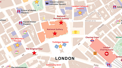
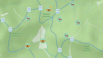
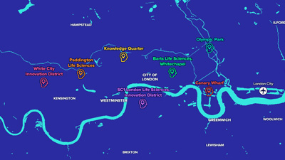
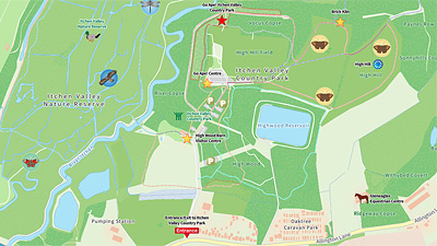
I am a graduate of Oxford Brookes University, receiving an honours degree in Mapping and Cartography. Having worked in the past for a large publishing company in central London, much of my current work is commissioned for inclusion in reference books. I also produce interactive maps for deployment on websites and in applications as well as products for use on public display panels and signposts. As a freelance cartographer, I have produced custom maps and graphics for a wide range of publishers, charities, media organisations and businesses. My work has been included in books published by Dorling Kindersley, National Geographic, Pearson, Penguin Books, Oxford University Press, Taschen, Laurence King Publishing, Millennium House and Weldon Owen. I've also created maps for a wide range of other companies and charities, including the Royal Horticultural Society, Smithsonian Institution, Best Western, The Greenbrier Companies, Fastmarkets, Bright Horizons, London & Partners and Cycling UK.

I enjoy being creative in my work and like to explore new approaches. As a map-maker, I have a natural tendency to pay attention to detail and also to work hard to ensure that I am being as accurate as I can in the work that I produce.

For more information on how Merritt Cartographic can best assist you with your project, please send me a message or make contact via the information displayed above and throughout the site. I look forward to hearing from you.

Information Button
Exit Button
Phone: +44 (0)7843 978646