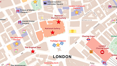
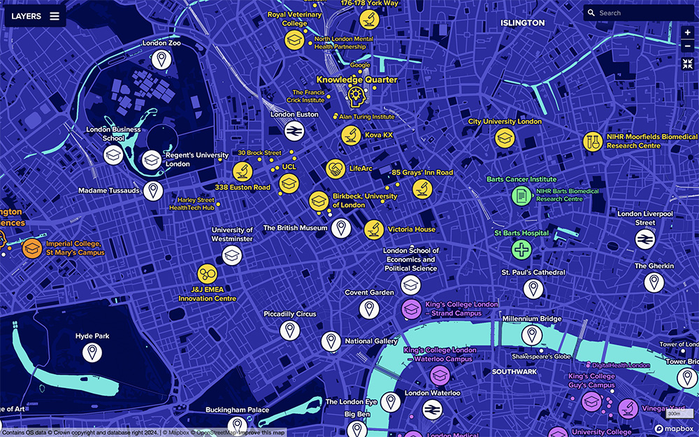
We utilised assets from MedCity's existing symbol library in designing icons for the map.
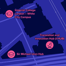
We've used colours in MedCity's brand guidelines to categorise locations by innovation district.
An interactive map of London's life sciences innovation districts and facilities.
Client: MedCity
Working with MedCity, an organisation representing London's life sciences cluster, Merritt Cartographic has created this interactive map, highlighting London's life sciences facilities and the key zones in the city where healthcare innovation is taking place.
The team at MedCity were keen for this map to be designed in a way that complimented the format of their website. Our client here wanted to avoid using a map that had a generic appearance and were instead looking to develop a bespoke design that fitted in with their brand guidelines. Utilising MedCity's existing symbols, we therefore worked to develop a custom map design that suited these requirements.
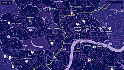
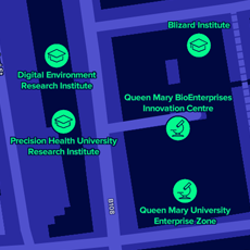
We dedicated time to ensuring that the map remained functional, at all zoom levels, especially in the regions of the city where many of London's life sciences facilities are tightly clustered together.
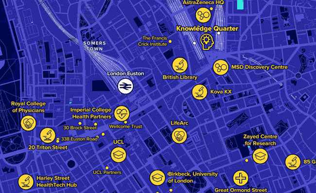
A section of the map, showing further detail at a greater zoom level.
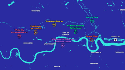
To compliment and supplement the main interactive map, Merritt Cartographic also developed a series of static maps, for the team at MedCity to use in presentations and brochure materials, as they continue to raise awreness of London's key life science institutions, industries and lab space facilities. Again, an important element of the brief here was to create these resources in a format that accounted for MedCity's brand guidelines and design specifications.
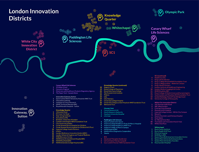
One of the static maps we developed for this project, for use in a digital brochure.
Maps on page contain map data © OpenStreetMap contributors, data available under the Open Data Commons Open Database License (ODbL) and © Mapbox.