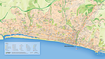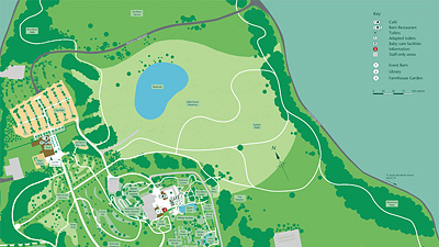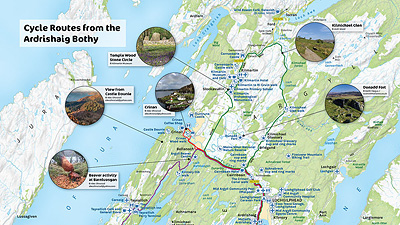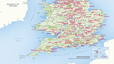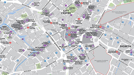


A very small section of the map shown at full size.

A better look at the region of the map surrounding Kew Gardens.
London Map
A0 Print - 1189mm x 841mm / 46.8" x 33.1"
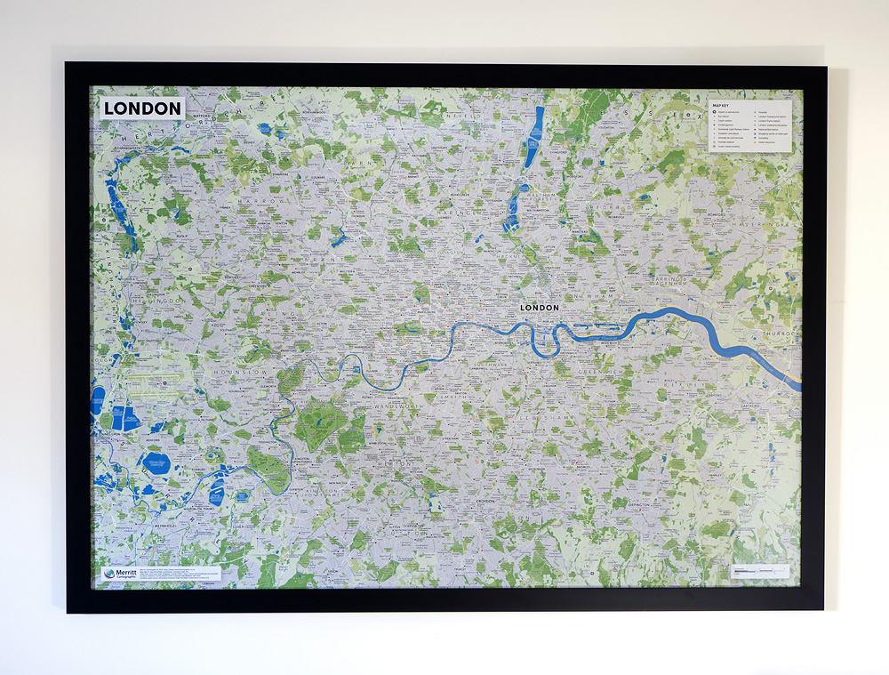
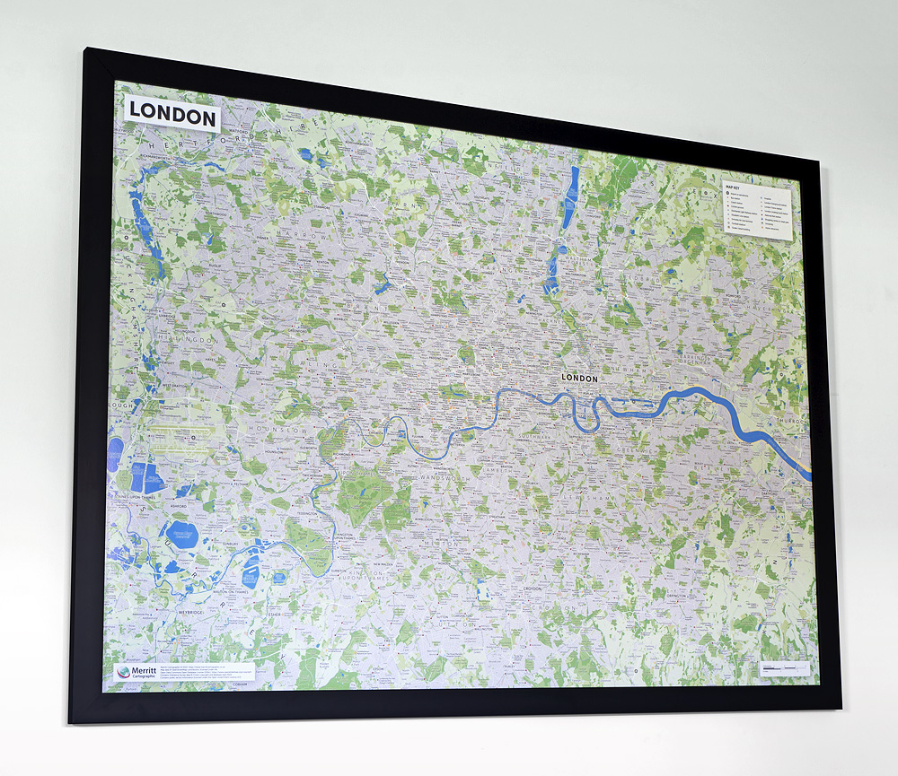
A map of Greater London, highlighting specific points of interest.
- Features:
- • A0 Print
- • Dimensions: 1189mm x 841mm / 46.8" x 33.1"
- • Printed on 130gsm gloss paper
- • Supplied rolled and packaged in a postage tube
- • Shipped worldwide


UK postage
£30.00 GBP each (postage and packing included)


European shipping (EU)
€45.00 EUR each (postage and packing included)


Worldwide shipping
$60.00 USD each (postage and packing included)
London Map
A large format map of Greater London, produced for wall display. This is our map of Greater London customised to highlight tourist attractions and other specific points of interest. This map has been designed at a scale that makes it suitable for framing and display. If required, we can also customise this map to include the features that are important to you or your organisation.

Built with information derived from the OpenStreetMap project and Ordnance Survey's OpenData, this up-to-date map shows the location of London's most popular tourist attractions, places of interest, historic buildings, transport links and other amenities.

An extract from the full map showing the design in more detail.
Contains Ordnance Survey data © Crown copyright and database right 2022. Map data © OpenStreetMap contributors, data available under the Open Data Commons Open Database License (ODbL).
For more information about this map or enquiries regarding a version that incorporates your customised information, please get in touch.
Please visit Merritt Cartographic's interactive Central London Explorer Map to discover more about London's tourist and visitor attractions.
Maps on page contain Ordnance Survey data © Crown copyright and database right 2022. Map data © OpenStreetMap contributors, data available under the Open Data Commons Open Database License (ODbL).